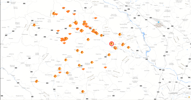
Where is Water?
GeoCodis and Space SI are working together to provide services for receiving up-to-date satellite images, for the detection and analysis of water surfaces and flood areas, and to provide the right information for users.

GeoCodis and Space SI are working together to provide services for receiving up-to-date satellite images, for the detection and analysis of water surfaces and flood areas, and to provide the right information for users.