
FAT – Protective forest assessment toolbox
The innovative tool offers user-tailored support for practitioners involved in ecosystem-based natural hazard risk management.
The innovative tool offers user-tailored support for practitioners involved in ecosystem-based natural hazard risk management.
Development of services for visualisation of assets within integration of IBM Maximo and ESRI ArcGIS systems.
The overall goal of the CEOIS project is to assist the geo-spatial unit of the World Bank.
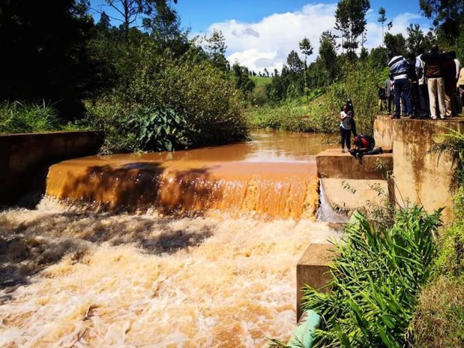
Supporting Water Sector Reforms Communication and Staff Inductions in Kenya
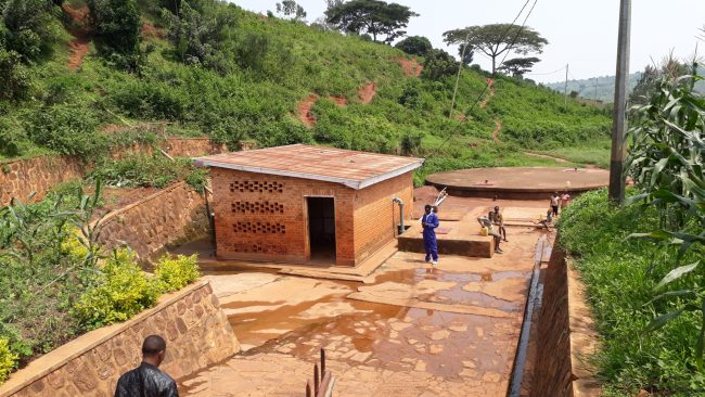
Management Information System for Water Supply, Sanitation and Hygiene Sector in Rwanda.
